CalCOFI CalCOFI CalCOFI.io open data ecosystem
Since 1949 Β· the California Current Β· one of the longest-running ocean observing programs anywhere

From ship to screen

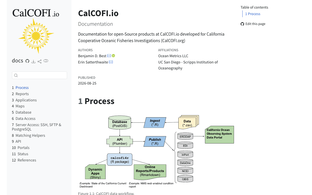
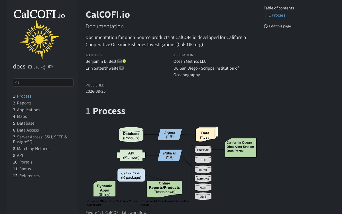
CalCOFI cruises have sampled the California Current for seventy-five years. CalCOFI.io turns those observations into an open data ecosystem: reproducible workflows load each dataset into a versioned integrated database, which powers interactive apps, a browser SQL playground, standards-based services and scientific programming packages in R and Python β€” for scientists, resource managers, students and the curious.

ship β†’ workflows β†’ database β†’ apps Β· services Β· R Β· Python

Explore the data Build on it

5 products

Apps

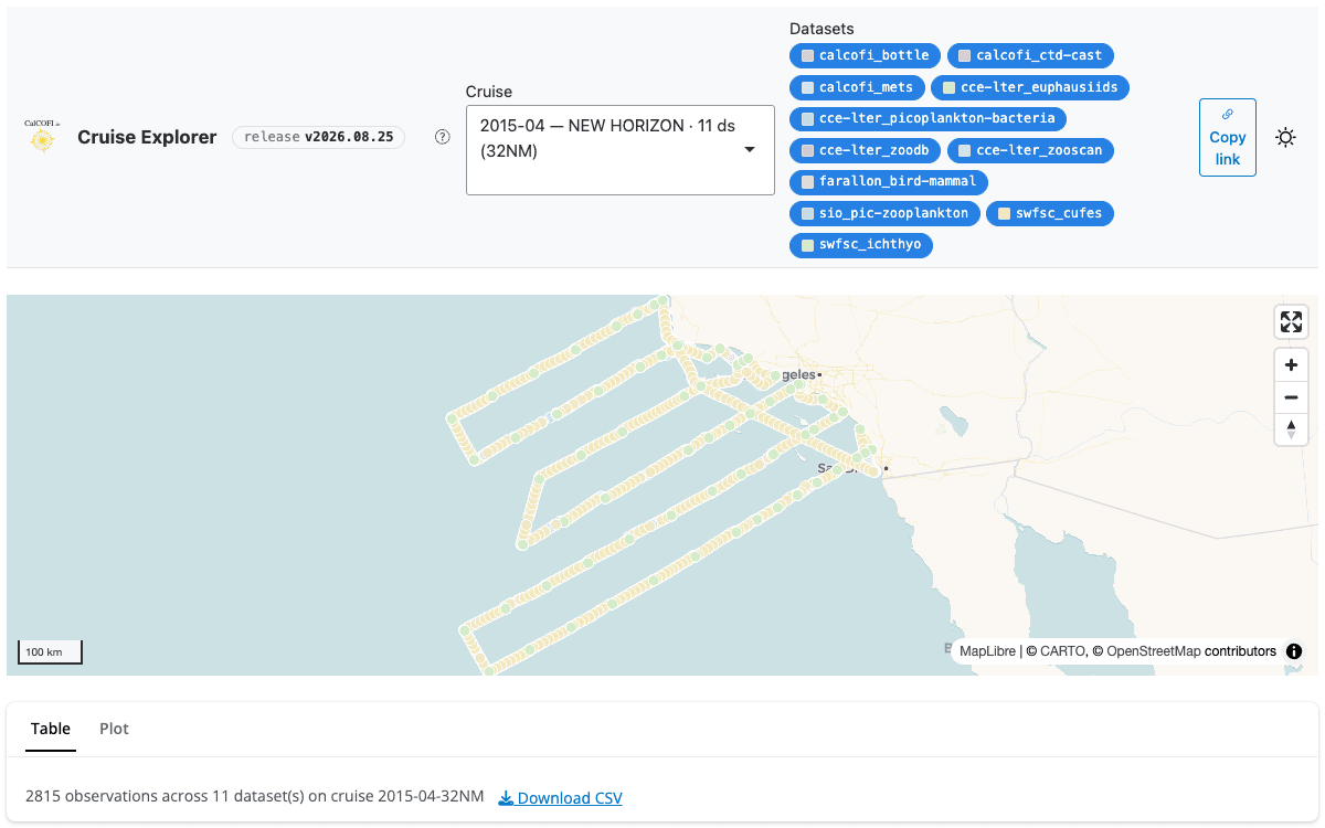
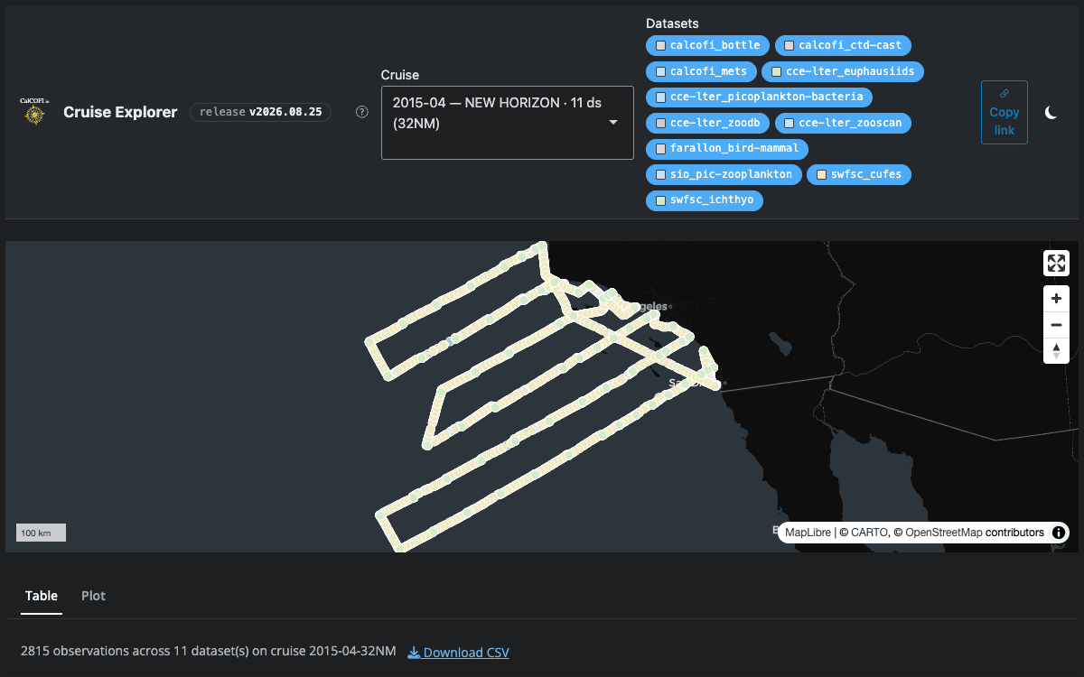
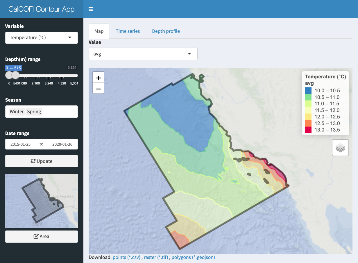
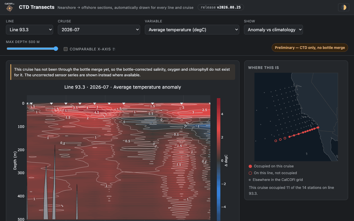
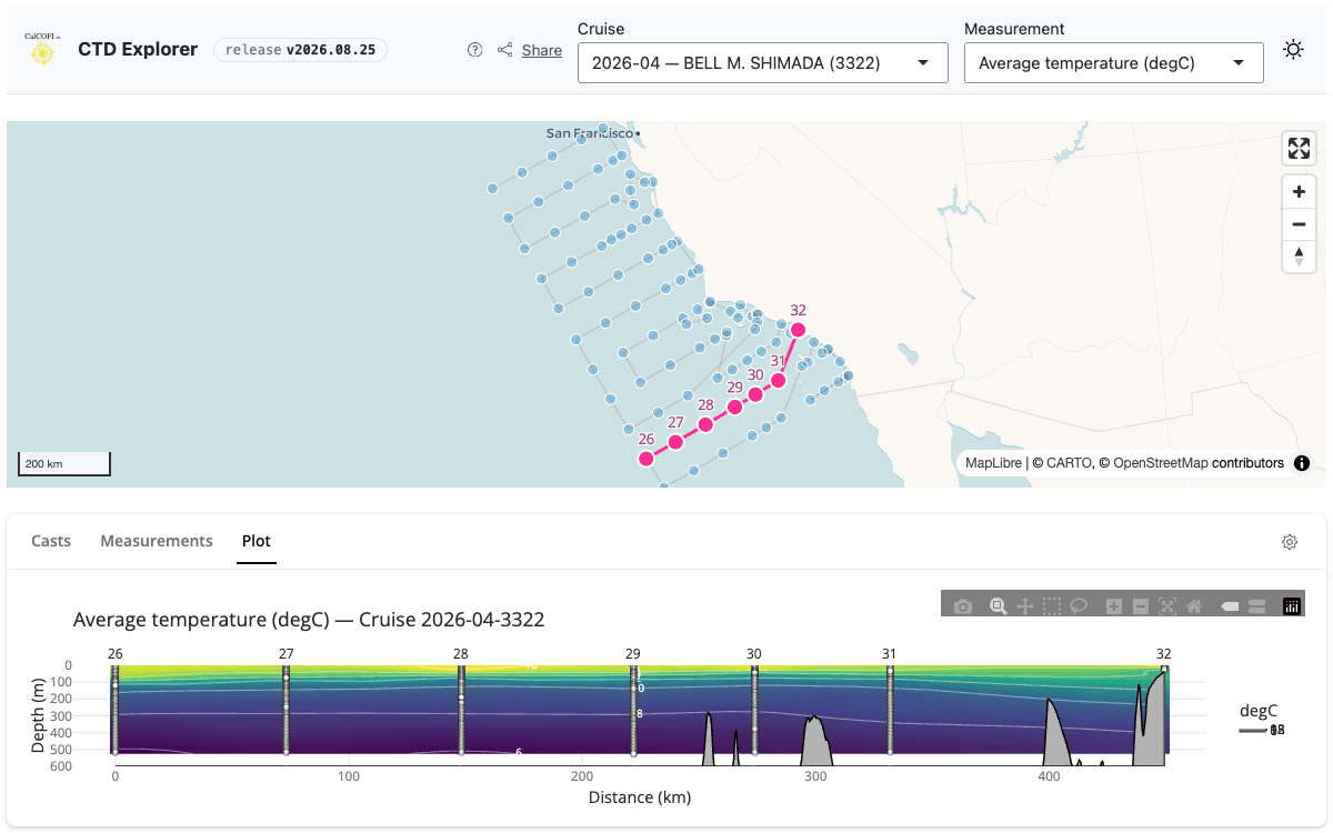
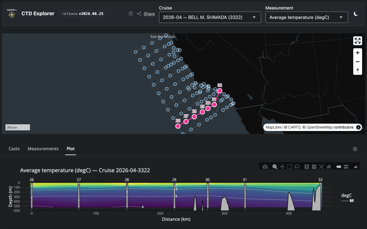
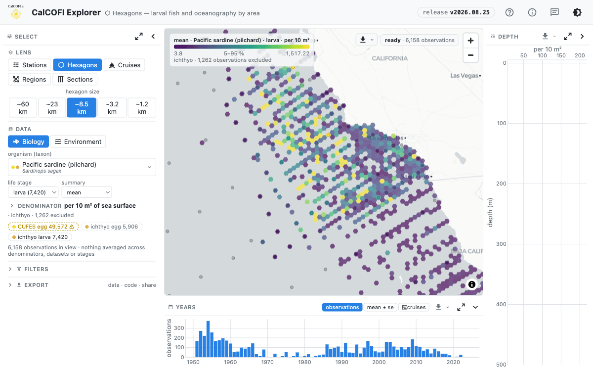
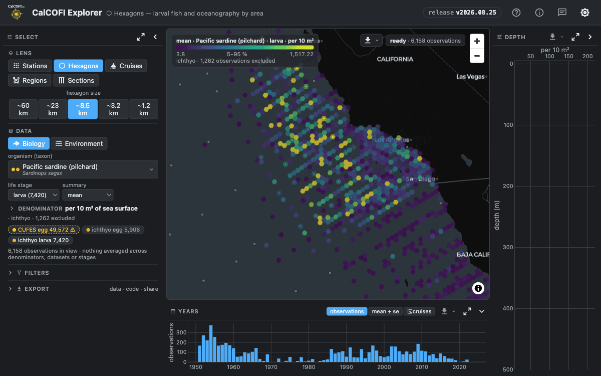
Explore the CalCOFI integrated database, across all ingested datasets. The Explorer brings the spatial grains together as lenses in one app; the others each go deep on one grain β€” station, hexagon, cruise, or contour.

3 products

Apps β€” Dataset-Specific

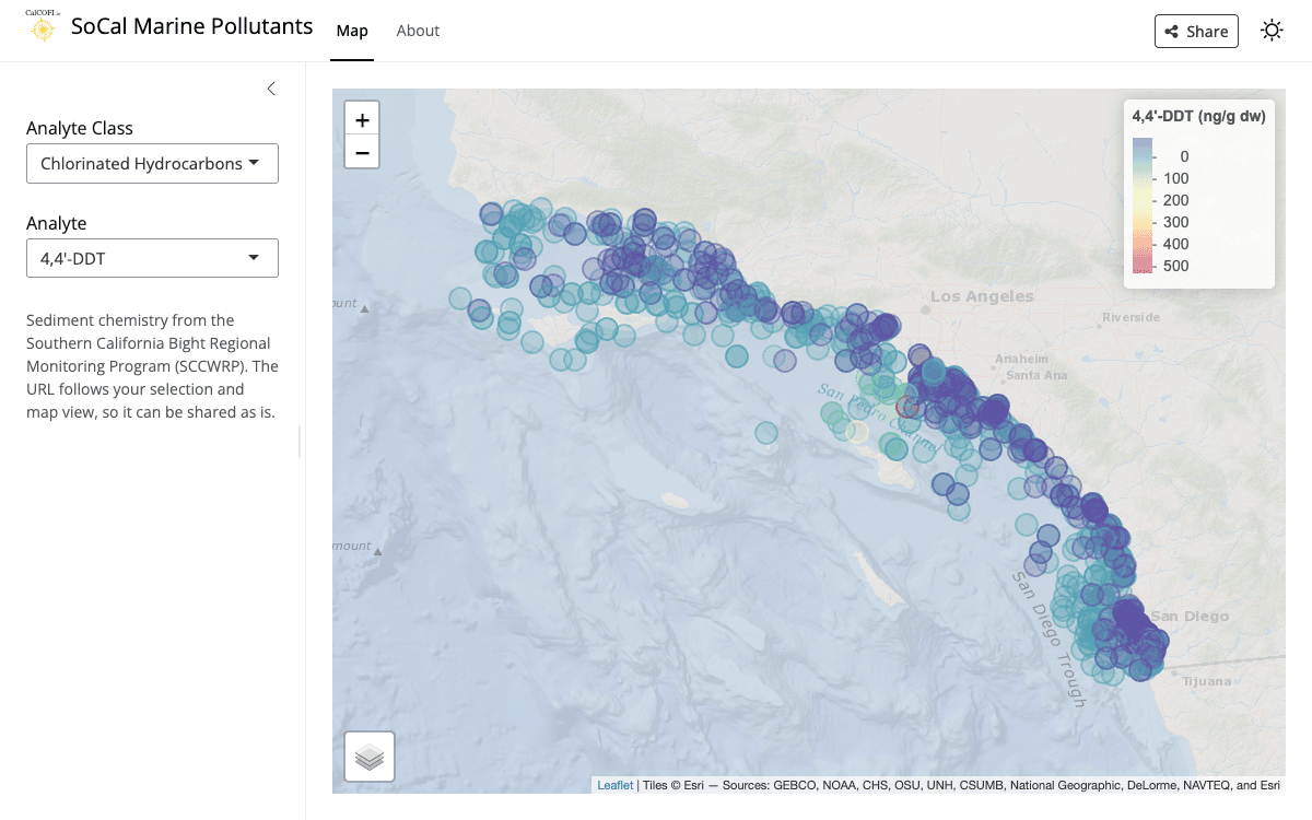
Apps focused on a single dataset or data source.

2 products

Services

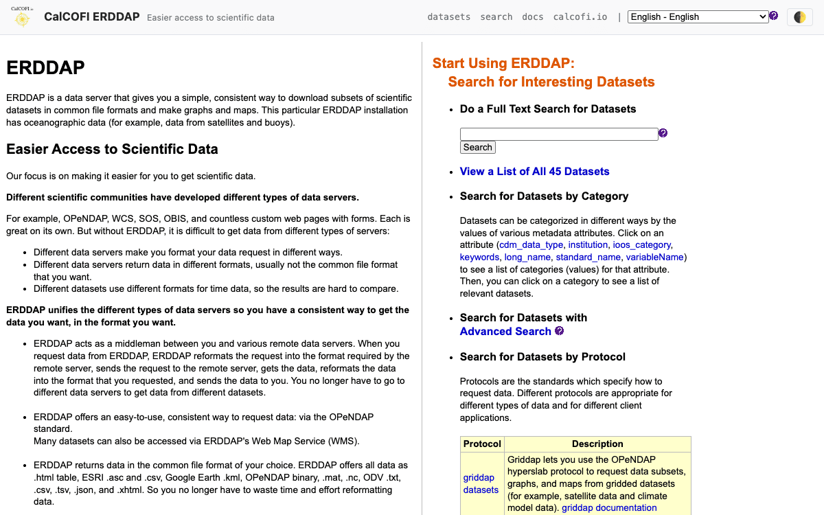
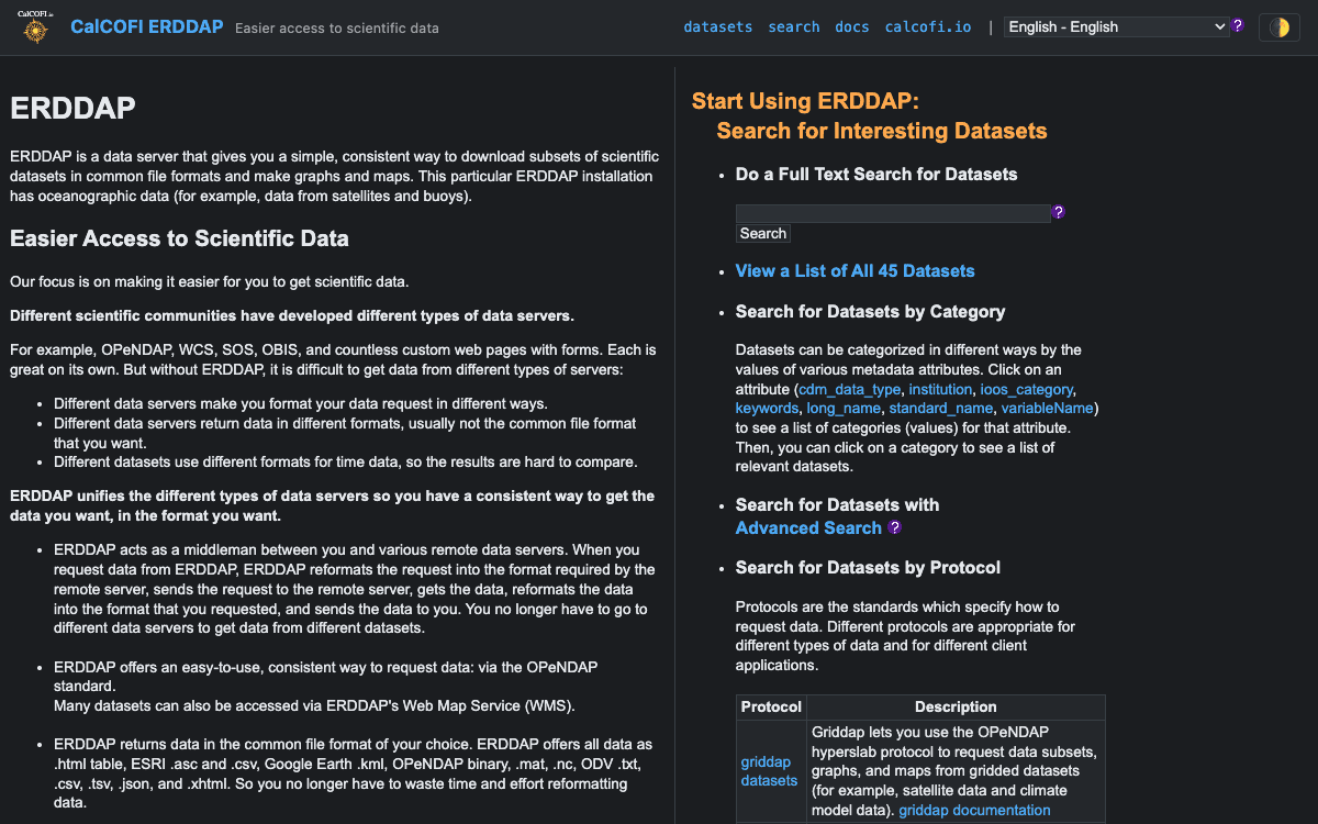
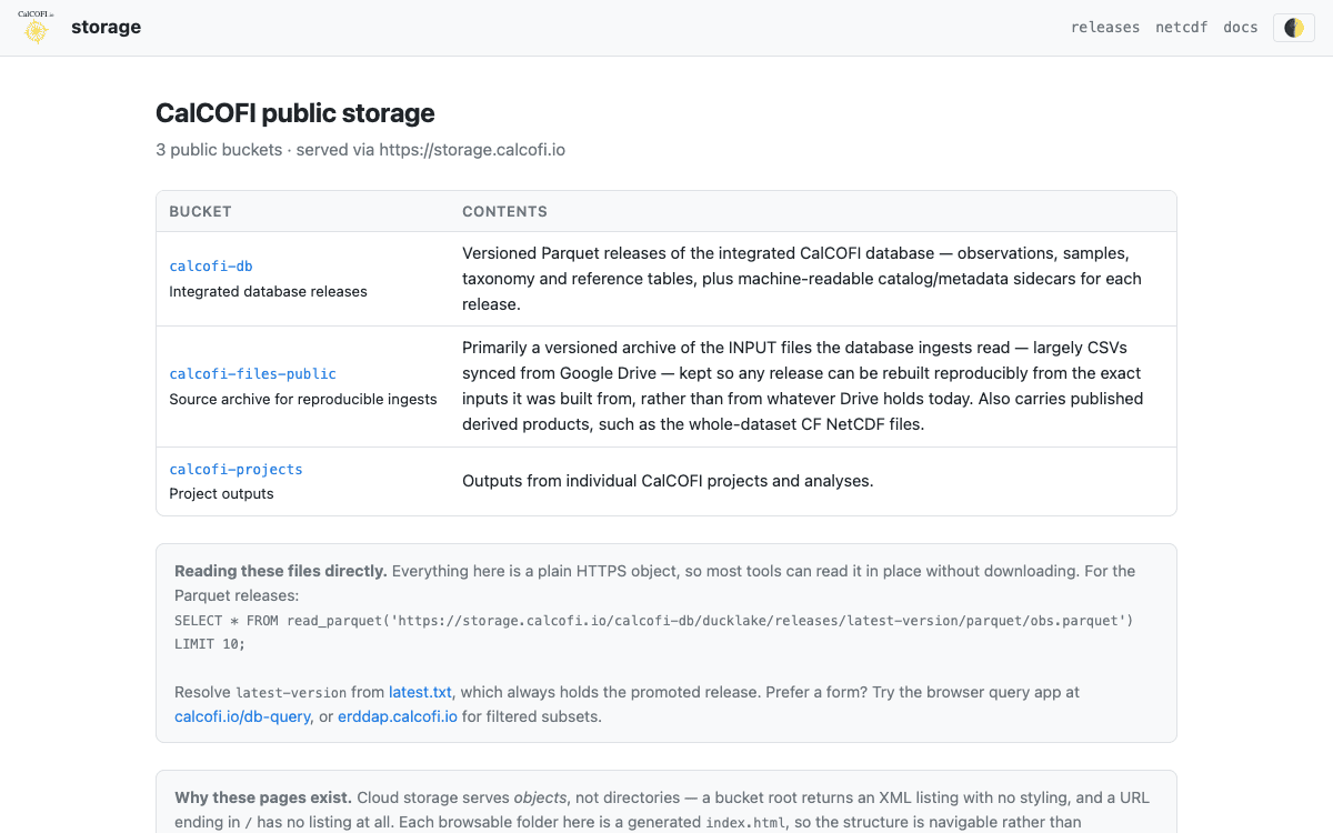
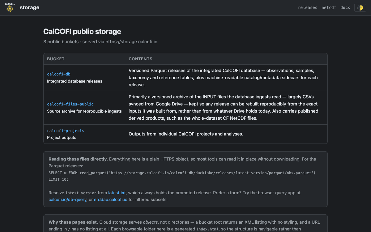
Hosted endpoints serving the data directly β€” standards-based access and public cloud storage.

7 products

Developer

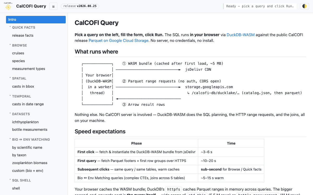
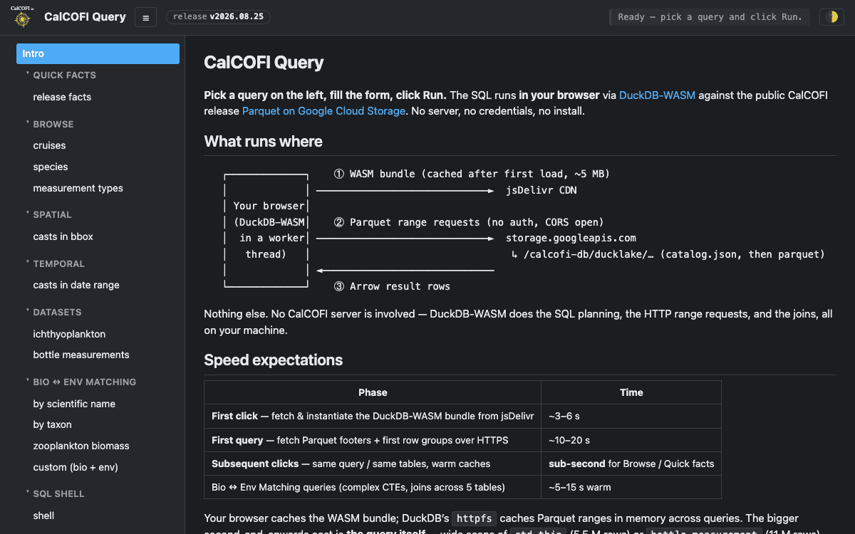
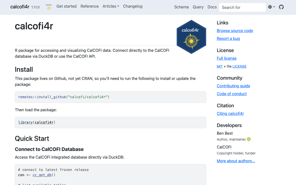
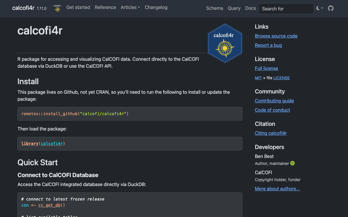
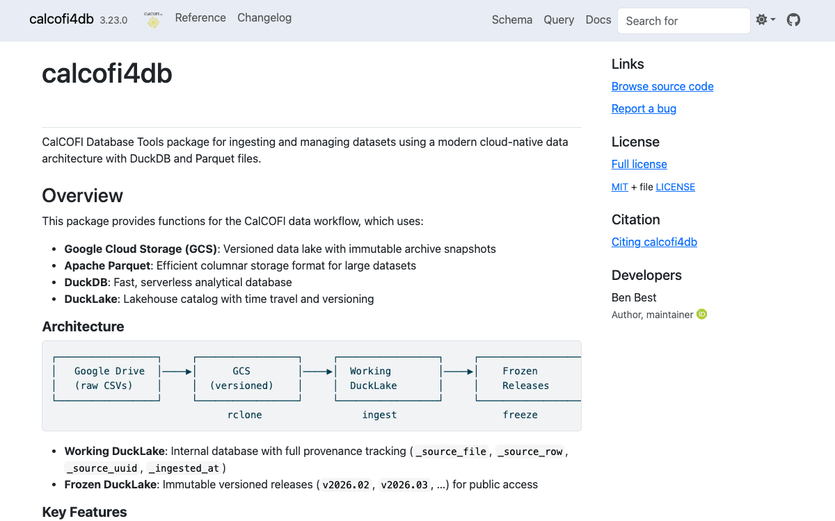
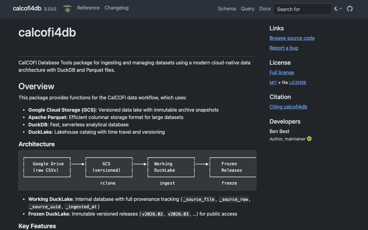
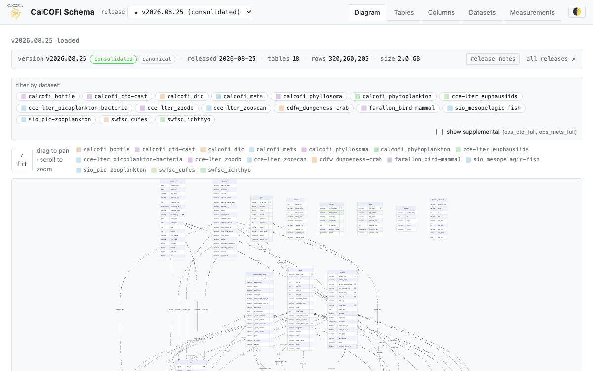
R packages with documented functions, browser-based query and schema tools, the reproducible workflows behind every release, and the technical documentation tying it all together. Read the docs

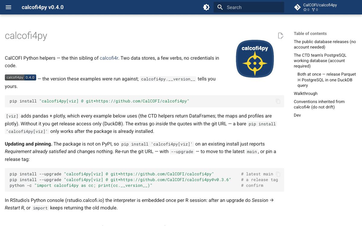
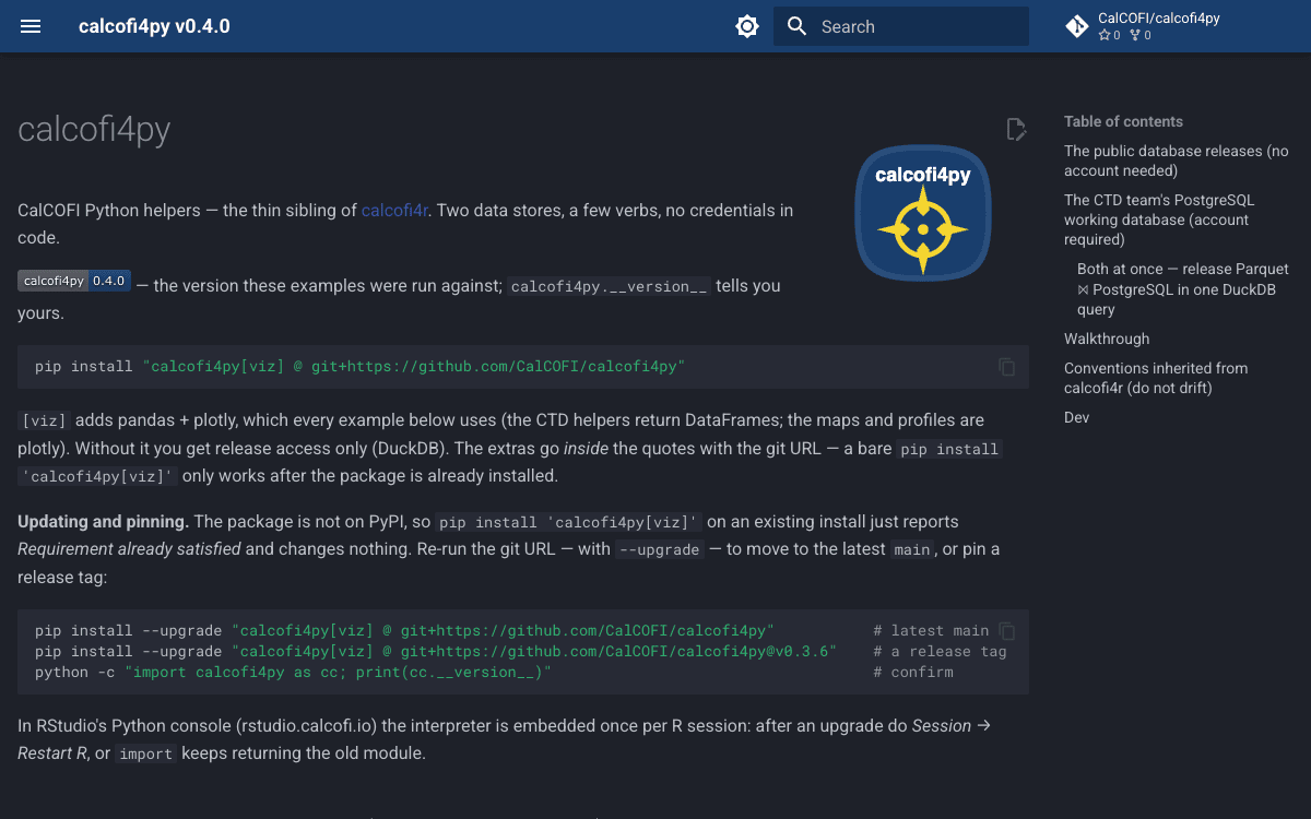
Screenshot of calcofi4py (light theme) Screenshot of calcofi4py (dark theme)
Developer

calcofi4py

Python package mirroring calcofi4r β€” query the versioned database releases with DuckDB and the CTD team's PostgreSQL working database, credentials-free via .pgpass.

Python
9 products

Student Contributions

Capstone and fellowship projects by university students partnering with CalCOFI.

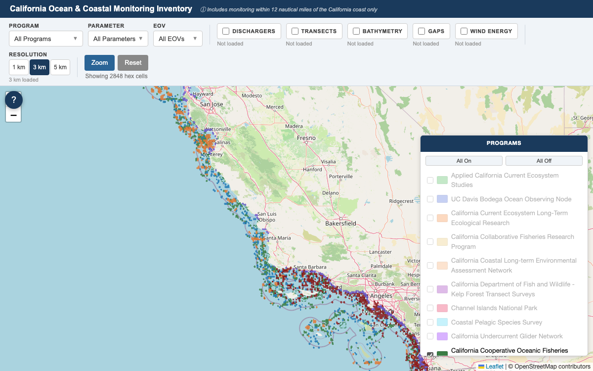
Screenshot of CA Ocean & Coastal Monitoring Map
Student Contributions

CA Ocean & Coastal Monitoring Map

Statewide inventory of California ocean and coastal monitoring programs within 12 nmi of the coast β€” hex-grid coverage at 1/3/5 km, survey transects, discharger stations, bathymetry, monitoring gaps, wind energy areas, and marine protected areas.

UCLA Capstone Β· 2026 Β· Betty Huang

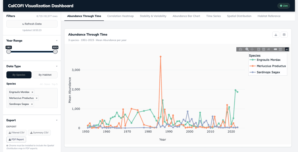
Screenshot of Larvae Dashboard
Student Contributions

Larvae Dashboardarchived

Explore CalCOFI fish-larvae (ichthyoplankton) abundance over time and space β€” filter by species or habitat across seasons and decades, with trend, correlation, stability and spatial views plus CSV/PDF export.

UCSB Data Science Capstone Β· 2026 Β· Joy Chang, Abhijit Brahme, A. Senthil, Chengcheng Fang, Kaeya Mehta, Shenyi Jiang

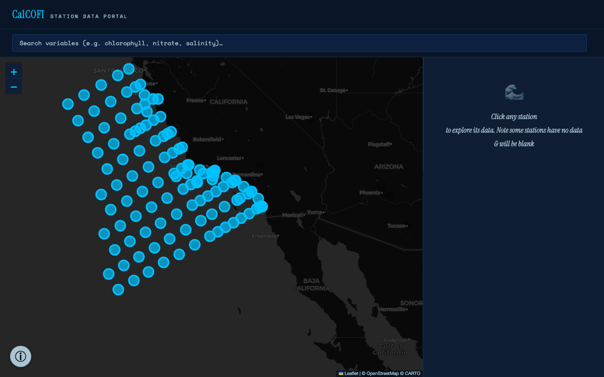
Screenshot of Station Data Portal
Student Contributions

Station Data Portalarchived Β· superseded by Station Explorer

Map-based discovery of what is measured at each of 115 CalCOFI stations, with live variable search and auto-generated ERDDAP, Euphausiid and ZooDB queries.

UCSB Data Science Capstone Β· 2026 Β· Nicole Xu, Aashish Krishnan, Qiongwen (Lucy) Cao

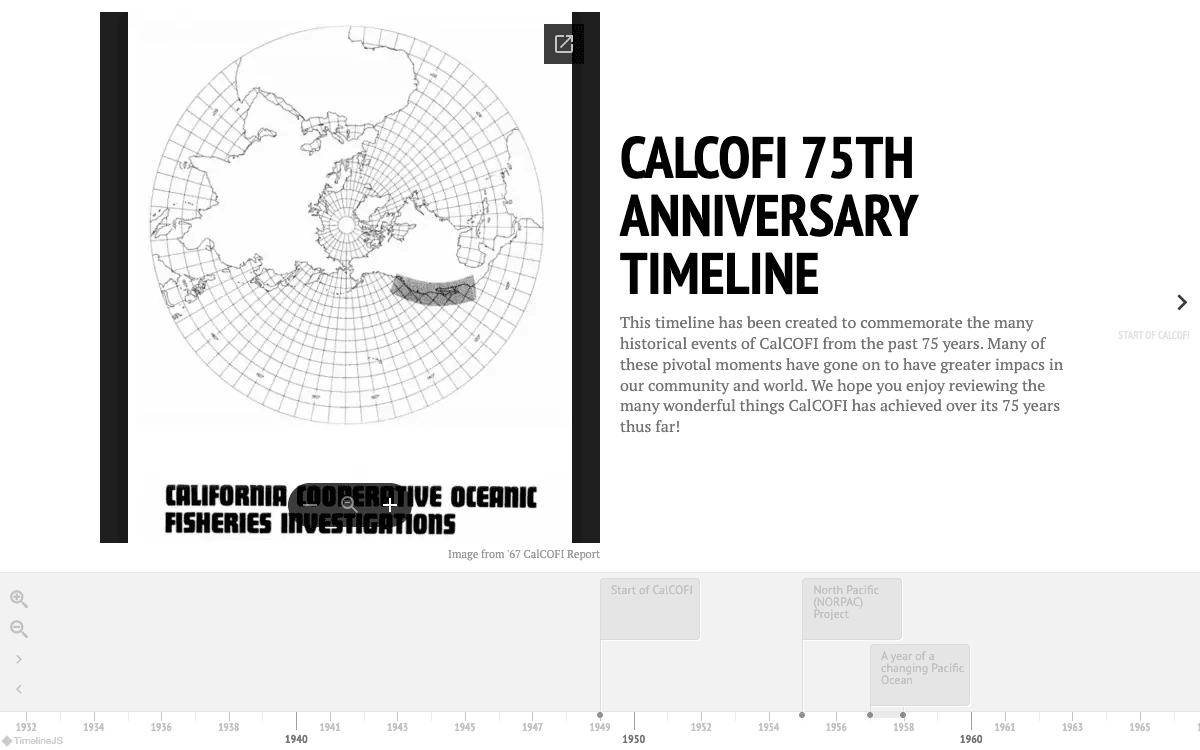
Screenshot of 75th Anniversary Timeline
Student Contributions

75th Anniversary Timeline

An interactive TimelineJS journey through 75 years of CalCOFI milestones β€” from the 1949 founding after the sardine collapse to the NORPAC expedition, the 1957–58 El NiΓ±o, CTD sampling, and the first all-female research cruise.

CalCOFI–CA Sea Grant Data Storytelling Internship Β· 2024 Β· Anneliese (Annie) Adams

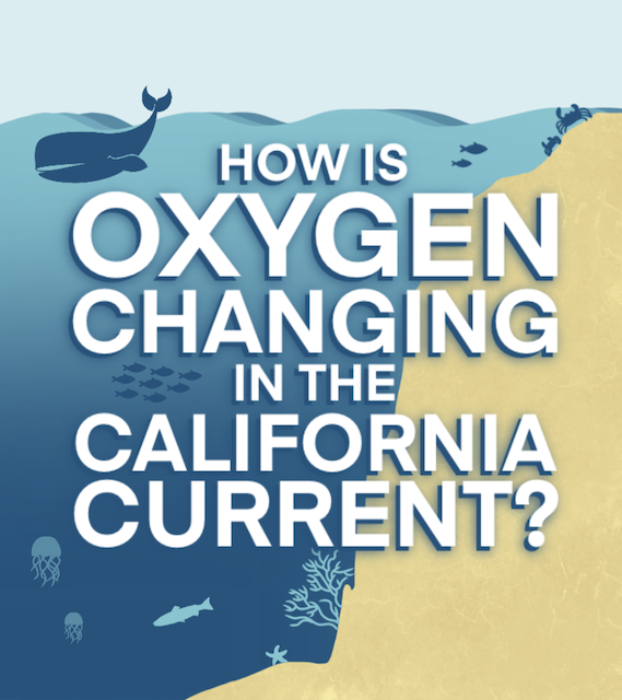
Screenshot of Hypoxia Story
Student Contributions

Hypoxia Storyarchived

A scrollable story of hypoxia in the California Current Ecosystem and its changing oxygen levels over the past 71 years.

CalCOFI–CA Sea Grant Data Storytelling Internship Β· 2024 Β· Mallika Gupta, Anneliese (Annie) Adams

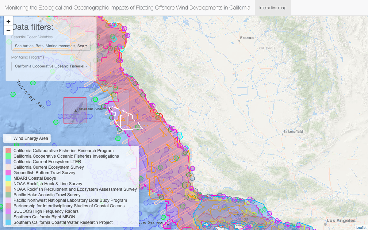
Screenshot of Offshore Wind Monitoring
Student Contributions

Offshore Wind Monitoring

An interactive map for planning ocean monitoring around California's floating offshore wind areas β€” toggle Essential Ocean Variables and long-term monitoring programs to reveal gaps in baseline datasets.

SIO Masters Capstone Β· 2024 Β· Eliza Thomas